As you explore Otago Harbour, you'll discover a natural beauty that's hard to ignore. The harbour's shoreline is lined with stunning cliffs and scenic bays.
The harbour's unique geology is a result of its formation over millions of years. The surrounding hills are made up of ancient rocks that have been shaped by the forces of erosion.
The harbour's history is just as fascinating as its natural beauty. It was an important spot for the early Māori people, who settled here over 700 years ago.
Geography
The harbour was formed from the drowned remnants of the giant Dunedin Volcano, centred close to what is now Port Chalmers. This violent origin can be seen in the basalt of the surrounding hills.
The remains of this volcanic eruption ended some ten million years ago, leaving the prominent peak of Mount Cargill. The last eruptive phase ended a long time ago, leaving a lasting impact on the harbour's geography.
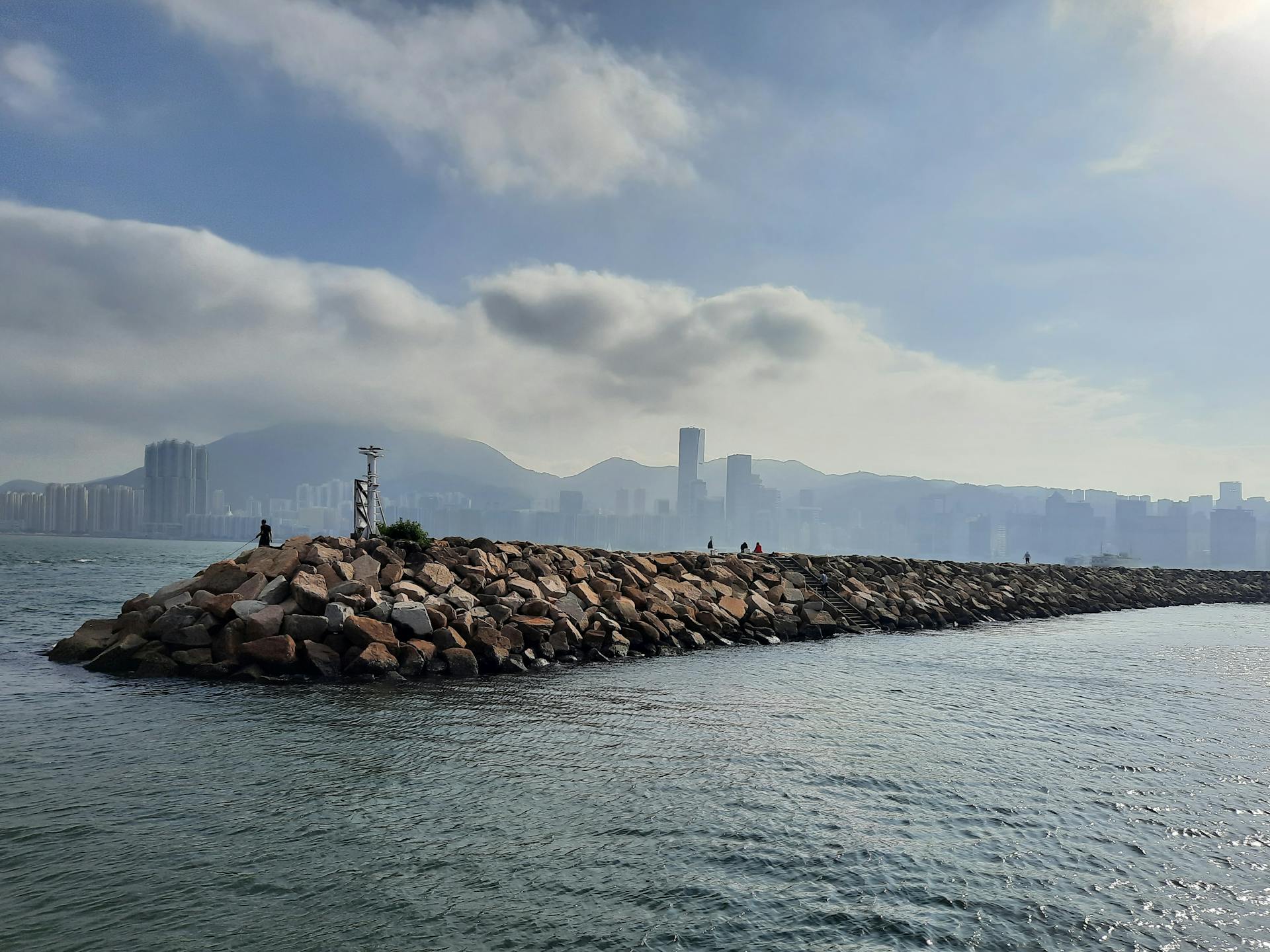
The ancient and modern channel runs along the western side of the harbour, while the eastern side is shallow, with large sandbanks exposed at low tide. This creates an interesting contrast between the two sides of the harbour.
Two islands form a line between Port Chalmers and Portobello half way along the harbour—Goat Island / Rakiriri and Quarantine Island/Kamau Taurua. These islands are a notable feature of the harbour's geography.
The nearby smaller island known as Pudding Island (Titeramoa) lies close to the Peninsula shore and can be reached by foot at low tide. This makes it a great spot for exploration and discovery.
The Water of Leith flows into the harbour at its southern end, which along with numerous streams lowers the salinity of the harbour water. This unique combination of fresh and saltwater creates a diverse and thriving ecosystem.
Wildlife
Otago Harbour is a haven for wildlife enthusiasts, with a diverse range of species calling the area home.
The harbour water is known for various rare wildlife, including wading birds, blue penguins, and the rare yellow-eyed penguin.
Taiaroa Head, at the tip of the Otago Peninsula, is home to the only "mainland" colony of northern royal albatrosses in the world.
The bay and peninsula provides a critical habitat for Hooker's sea lions and New Zealand fur seals, as well as occasional visitors like southern elephant and leopard seals.
In total, four species of pinnipeds, and at least nine or more species of cetaceans are known to inhabit or migrate through the area.
The outer peninsula adjacent to Taiaroa Head is one of three main congregating areas for dusky dolphins in New Zealand waters, and the harbour and peninsula hosts important areas for breeding and nursing.
Seabirds
The Otago Peninsula is a haven for seabirds, with many species of wading birds calling the harbour water home.
The area is particularly known for its rare wildlife, including two species of penguins that visit the harbour: the blue penguin and the yellow-eyed penguin, which is a rare sight to behold.
Taiaroa Head, at the tip of the Otago Peninsula, is home to the only "mainland" colony of northern royal albatrosses in the world, a truly unique and fascinating sight.
The harbour water is also a popular spot for birdwatching, with many species of seabirds visiting the area.
Marine Mammals
The bay and peninsula provides a critical habitat for Hooker's sea lions and New Zealand fur seals. Southern elephant and leopard seals are occasional visitors into the harbour.
In total, four species of pinnipeds, and at least nine or more species of cetaceans are known to inhabit or migrate through the area.
The outer peninsula adjacent to Taiaroa Head is one of three main congregating areas for dusky dolphins in New Zealand waters. The harbour and peninsula host important areas for breeding and nursing.
Bottlenose dolphins and critically endangered, endemic Hector's dolphins also frequent the water. Other species such as common dolphins and orcas visit the harbour entrance.
Orcas and dusky dolphins have been seen interacting without violence at the harbour entrance. Southern right whales were historically seen inside the harbour entrance, possibly up to Quarantine and Goat Island / Rakiriri.
The number of humpback whales visiting the peninsula has increased as this species recovers much faster than the southern rights. There have also been observations of blue whales, minke whales, and long-finned pilot whales.
History and Development
Māori first arrived at Otago Harbour in the 1300s, soon after they first settled in New Zealand. They adopted a hunter-gatherer society due to the harbour's unsuitability for cultivating sweet potatoes.
The early Māori people initially focused on sealing and fishing in the harbour, but as seal stocks diminished, they shifted their attention more towards fishing. This transition is reflected in the place names, such as Kamau Taurua (Quarantine Island), which means "a place where nets are set".
Expand your knowledge: Tema Fishing Harbour
History
The Māori people first arrived at Otago Harbour in the 1300s, soon after they settled in New Zealand. They had to adapt to the region's unique conditions, which made sweet potato cultivation impossible.
The Māori adopted a hunter-gatherer society, which initially involved sealing and fishing in the harbour. This was a crucial part of their diet and way of life.
Seal stocks eventually diminished, and the Māori shifted their focus towards fishing. This change is reflected in the place names of the area, such as Kamau Taurua (Quarantine Island), which means "a place where nets are set".
On a similar theme: Royapuram Fishing Harbour
Harbour Developments
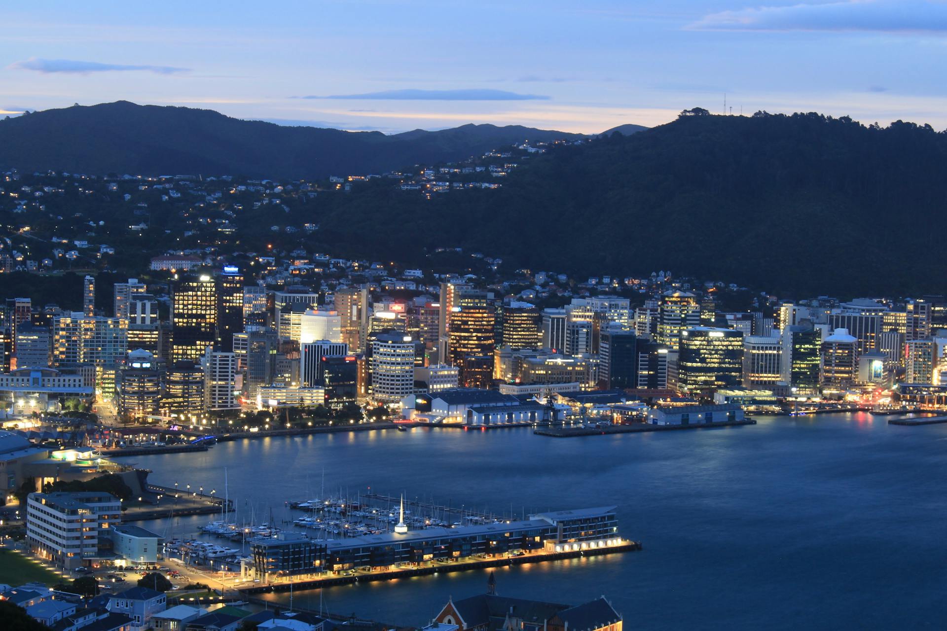
Otago Harbour's natural layout made it difficult for ships to dock close to the city in the early days of settlement. The harbour is tidal, shallow, and seldom rough, but it's popular for water sports like yachting and windsurfing.
The flat land at the southern end of the harbour was ideal for building the city of Dunedin. The harbour itself could only naturally accommodate deep-drafted ships as far as Port Chalmers.
In 1946, Otakou Fisheries was started in the township of Otakou on the eastern side of the harbour, which later became a major part of the Otago fishing industry. This was a significant development for the harbour's economy.
The city's growth and increased commerce following the Otago Gold Rush of the 1860s made it necessary to provide a means for ships to reach the city's wharves. A contentious and expensive decision was made to dredge a channel along the northwestern side of the harbour.
Readers also liked: Old City Harbour
The initial channel was narrow and shallow, and it didn't get off to an auspicious start when the Union Steam Ship Company's SS Penguin was temporarily grounded while using it. The channel was officially named the Victoria Channel by Keith Ramsay, chairman of the Otago Harbour Board.
By 1907, twice as many ships were using Dunedin's wharves as used Port Chalmers. This was a significant milestone in the harbour's development.
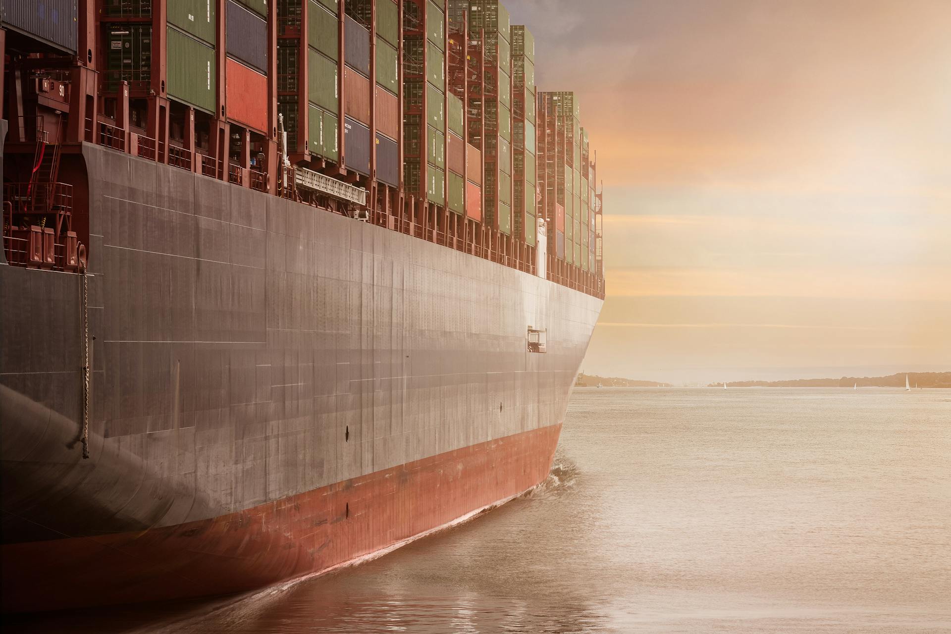
The channel has been gradually widened and deepened over the years, and it's now maintained by Port Otago Ltd, who keep it dredged to a depth of eight metres. This allows ships of up to 40,000 tonnes deadweight to travel up the harbour to Dunedin.
Much of the channel's larger traffic in the early 21st century is oil transport to Dunedin city and chemicals and fertiliser to and from Ravensbourne's fertiliser works.
You might enjoy: Nuuk Port and Harbour
Infrastructure
Otago Harbour has a well-developed infrastructure that supports its busy shipping and tourism activities.
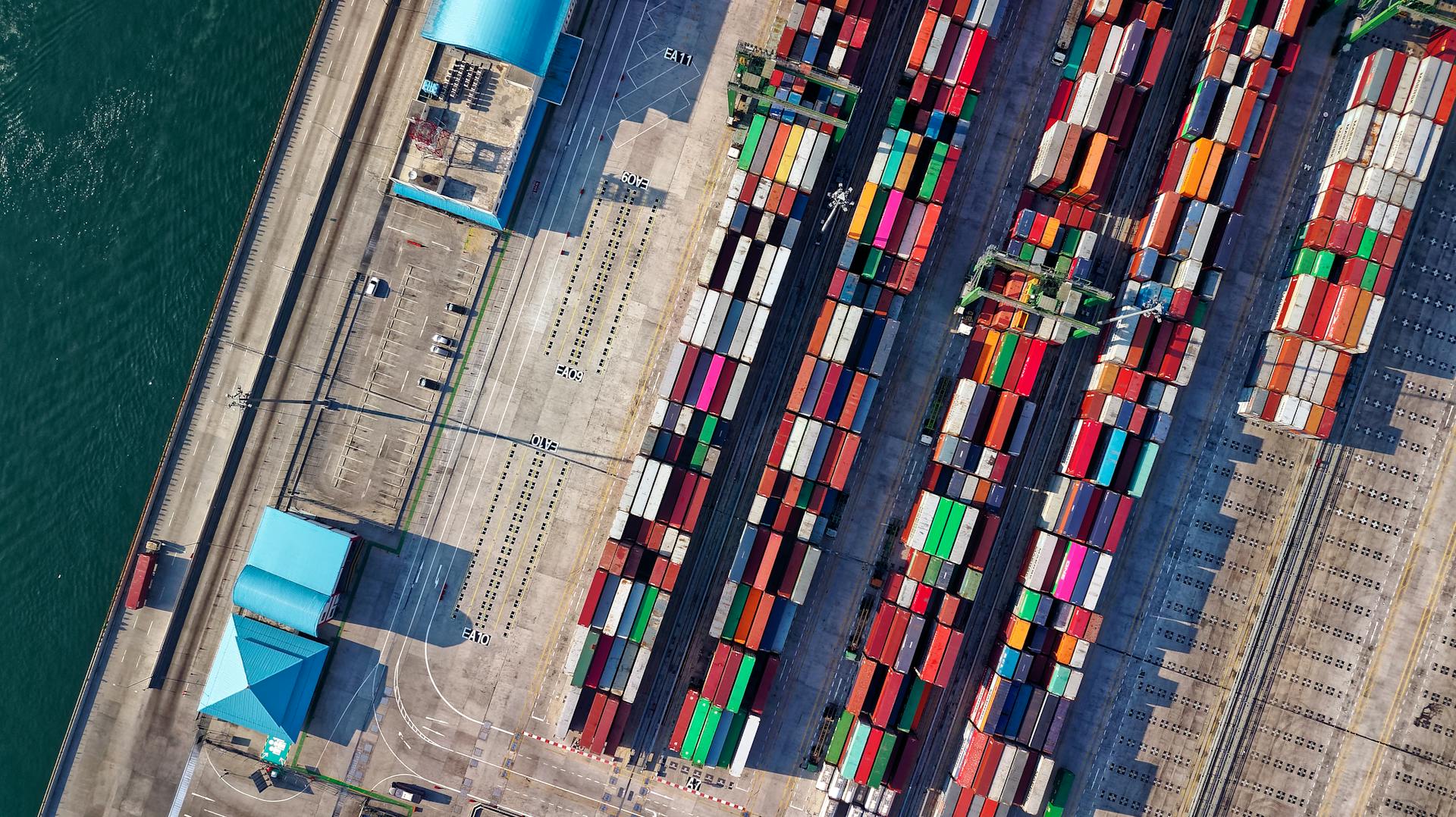
Substantial container port facilities exist at Port Chalmers, allowing vessels with a draught of 12.5 m to Port Chalmers and 8 m all the way to the heart of Dunedin.
A channel along the western side of the harbour is regularly dredged to accommodate larger vessels. This has enabled the harbour to play a significant role in New Zealand's frozen meat export trade, which was inaugurated at Port Chalmers in 1882.
Numerous sightseeing and fishing boats can be chartered, and one scheduled ferry runs from Port Chalmers to Portobello.
On a similar theme: Port Kembla Harbour
Infrastructure and Transport
The Otago Harbour has a robust infrastructure and transport system that supports its thriving economy and tourism industry. Substantial container port facilities exist at Port Chalmers, allowing vessels with a draught of 12.5 m to dock.
A channel along the western side of the harbour is regularly dredged, enabling vessels to reach the heart of Dunedin. This has been a crucial factor in the harbour's development, particularly for New Zealand's frozen meat export trade, which was inaugurated at Port Chalmers in 1882.
There are numerous sightseeing and fishing boats that can be chartered, and one scheduled ferry from Port Chalmers to Portobello. This ferry service is a popular option for tourists and locals alike, providing a convenient way to explore the harbour and its surrounding areas.
The harbour is flanked by major roads, including SH 88, which connects Dunedin to Port Chalmers, and Portobello Road, which links Portobello and Otakou. A long-distance cycleway and walkway, Te Aka Ōtākou, runs parallel to these roads, providing a scenic and safe route for cyclists and pedestrians.
Here's a list of the major settlements along the harbour, including their population and notable features:
The South Island Main Trunk railway also runs parallel to the state highway on the western side of the harbour, crossing causeways to navigate several of the harbour's bays.
European Ships
Captain Cook never entered Otago Harbour, but speculated that it existed when he was off the Pacific coast in 1770.
The first explicit and identifiable reference to a European ship in the Otago Harbour is from 1810, when Robert Mason, master of the Brothers, anchored in the harbour and picked up William Tucker and Daniel Wilson.
George Bass made the Dunedin end of the harbour the north east limit of his proposed fishing monopoly in 1803.
It's not known exactly when the first Europeans entered the harbour, but Māori oral tradition puts it some time 'long before' 1810.
The American ship Favorite with its supercargo Daniel Whitney may have called in the summer of 1805 to 1806.
Daniel Cooper, master of the London sealer Unity, probably called in the summer of 1808 to 1809 when his Chief Officer, Charles Hooper, gave his name to Hooper's Inlet on the Otago Peninsula.
Why This Report Matters
Otago Harbour is a vital part of the Ōtepoti (Dunedin) and Otago region's cultural, social, and economic life.
The harbour plays a key role in supporting commercial fisheries, trade access, and local and regional economies.
Located at the heart of the region, the harbour is a significant asset that serves both the city and region's identity.
Te Awa Ōtākou has a pivotal role in the wellbeing of the Ōtākou hapū and whānau, providing a source of identity and a bountiful provider of kaimoana.
The harbour is a lifeline to the international trade that benefits the region, and its ebb and flow of tides is a valued certainty in a world of change.
However, the harbour's health and function are under ongoing pressure due to human activities such as land development and pollution.
Climate change is also a significant challenge, with rising sea levels, changing rainfall patterns, and increasing temperatures demanding decisive, long-term planning and action.
Here are some examples of the extensive ongoing effort to protect the harbour:
- Otago Maps provide valuable information about the harbour and its surroundings.
- The Otago Native Planting Guide offers practical advice on how to restore the harbour's natural habitats.
- The Otago Natural Hazards Database helps to identify potential risks and hazards in the harbour area.
- The Spatial Data Portal offers a wealth of information about the harbour's geography and ecosystems.
Frequently Asked Questions
Where is Otago in harbour?
Otago Harbour is located between Heyward Point and Taiaroa Head, extending 12 nautical miles to the city of Dunedin.
Is the Otago Peninsula worth visiting?
Yes, the Otago Peninsula is a unique destination offering a mix of remote wilderness and city amenities, making it an ideal choice for travelers seeking a diverse experience. Its stunning coastal location and proximity to Dunedin City make it a must-visit destination in the South Island.
Who owns Port of Otago?
Port of Otago is owned by the Otago Regional Council, a local government entity responsible for its operations and management.
What fish are in Otago Harbor?
Otago Harbour is home to Australian salmon, Blue cod, and Chinook salmon. These species make it a popular destination for fishing enthusiasts.
Sources
- https://en.wikipedia.org/wiki/Otago_Harbour
- https://www.orc.govt.nz/environment/enhancing-and-protecting/te-awa-otakou-otago-harbour-report/
- https://www.dunedincycleway.co.nz/location-otago-harbour.html
- https://kids.kiddle.co/Otago_Harbour
- https://evendo.com/locations/new-zealand/dunedin/attraction/otago-harbour
Featured Images: pexels.com