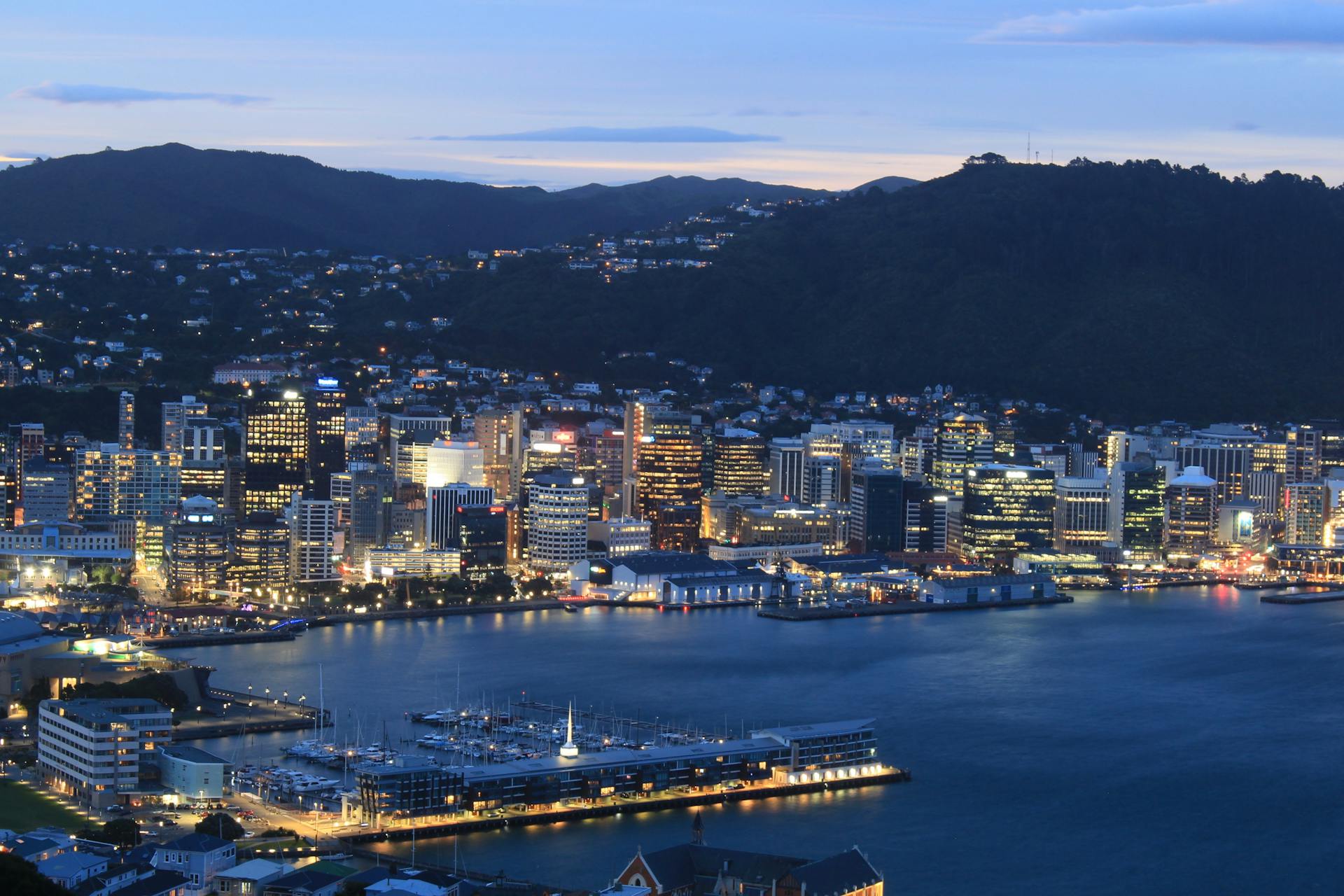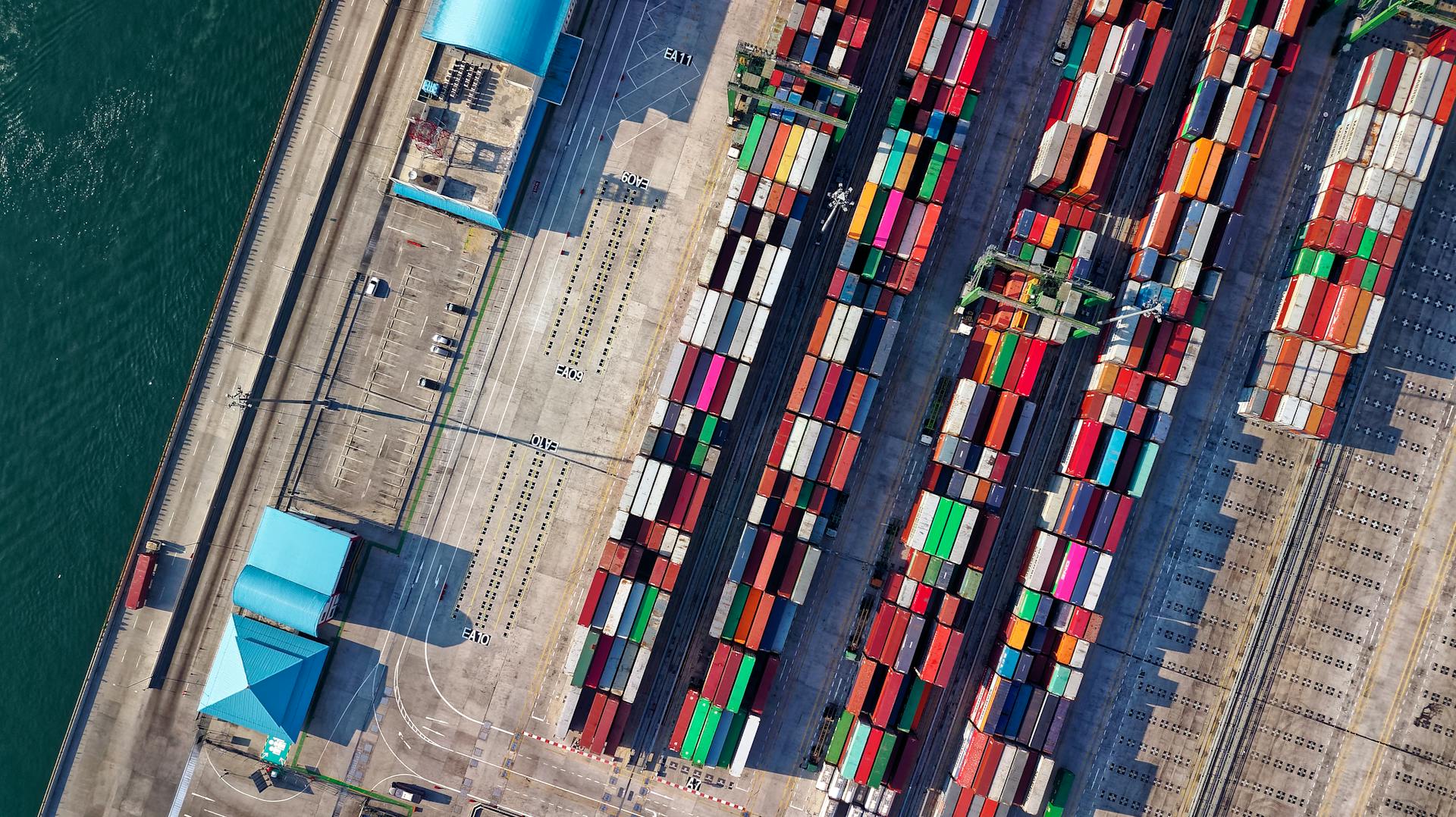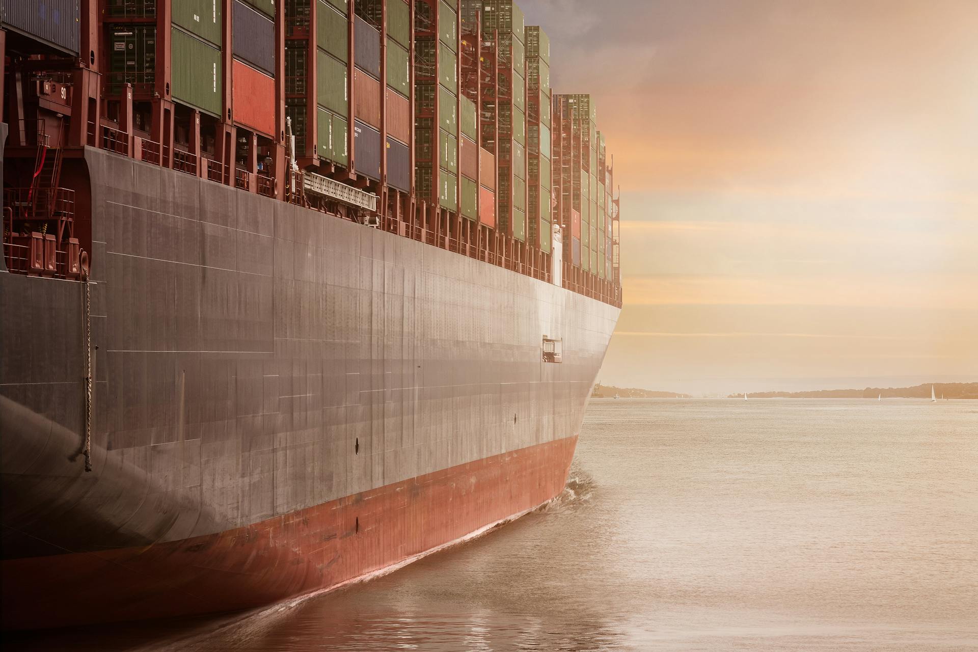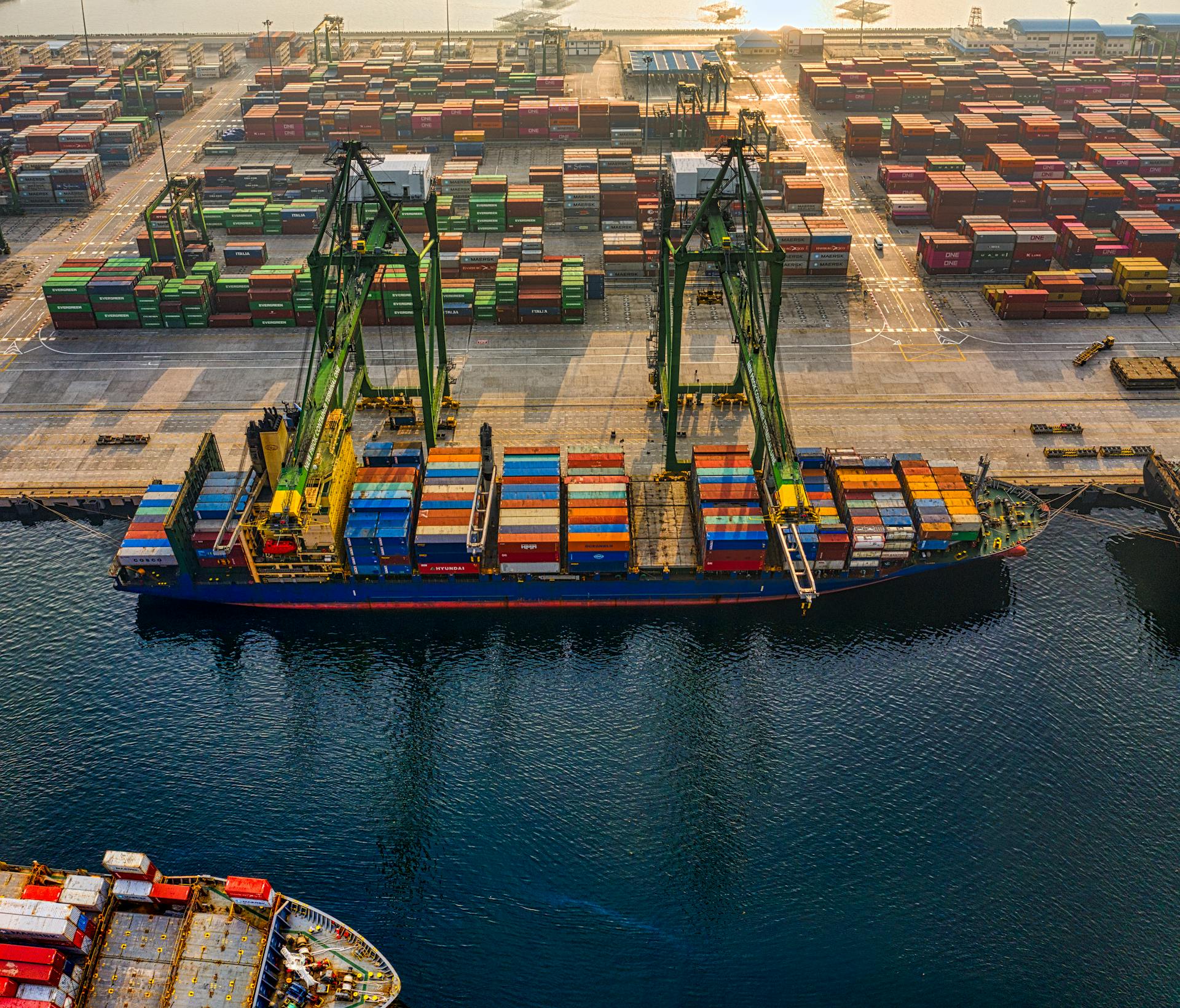
Nuuk Port and Harbour Greenland is a bustling hub of activity. It's the country's largest port and a key gateway for both cargo and cruise ships.
Located in the heart of Nuuk, the capital city of Greenland, the port is situated on the west coast of the island. The harbour is a natural fjord, surrounded by towering mountains and picturesque villages.
The port is a crucial lifeline for the local economy, handling everything from fishing vessels to cargo ships carrying essential supplies. It's also a popular destination for cruise ships, offering breathtaking views of the surrounding landscape and opportunities to experience the unique culture of Greenland.
Information
Nuuk Port and Harbour is a vital hub for cargo and shipping in Greenland. It's located in Nuuk, Sermersooq, and is known for its small harbor size.
The port's location is situated in the Labrador Sea, which is part of the North Atlantic Ocean. This unique location affects the port's tidal range, which is quite significant at 4.4 meters.
Curious to learn more? Check out: Hamburg Port Location
Nuuk Port's anchorage depth is a relatively safe 15.0 meters, making it suitable for a variety of vessels. The cargo pier depth is slightly shallower at 9.4 meters, while the oil terminal depth is 12.5 meters.
Here's a summary of the port's key features:
The port's GPS coordinates are essential for navigation, with a latitude of N 64° 10' 60'' and a longitude of W 51° 45' 0''.
Facilities and Services
Nuuk Port and Harbour offers a range of facilities and services to make your visit smooth and enjoyable. You can access the harbour year-round through its modern, ice-free facilities.
The container terminal is a great place to start, with a 310-metre quay length and two mobile harbour cranes. Full management is provided by Sikuki Nuuk Harbour A/S.
You'll find two main terminals to dock at: the Container Terminal and Ny Atlantkaj, which welcomes cruise ships. The Container Terminal has a 360-metre quay, while Ny Atlantkaj is perfect for cruise ships.
Clear signage in English is available throughout the facility, making it easy to navigate. The harbour area is well-equipped to meet your basic needs.
Here are some of the facilities you can expect to find:
- Polaroil fuel stations
- A small vessel marina in the inner port
- Fresh water supply
- Waste disposal facilities
The port layout is designed to make it easy to move between terminals, and staff are available to help with your berthing requirements.
Harbour Area and Surroundings
The harbour area in Nuuk is fully equipped to meet your basic needs. You'll find Polaroil fuel stations, a small vessel marina in the inner port, fresh water supply, and waste disposal facilities.
The port layout is designed for easy navigation between terminals, and staff are available to assist with your berthing requirements.
Walking from the harbour to the city centre is straightforward, with well-marked paths and signs in both English and Greenlandic. You can also use the cruise shuttle bus for quicker access.
Gl. Atlantkaj
Gl. Atlantkaj is the primary berth facility in the Inner Port, constructed in four steps from 1952-1955.
The construction is an open steel pile structure with a load-bearing concrete slab on top. It's located in the Inner Port, and its original construction was extended with an additional 100 meters of quay in 1969/70.
The length of Gl. Atlantkaj is 170 meters. Its depth decreases from north towards Øster Vig in south, ranging from 7.0 to 4.6 meters.
Here are some key specifications of Gl. Atlantkaj:
Gl. Atlantkaj has mooring rings in the northern part and bollards in the southern part.
Montagekaj
Montagekaj is a closed sheet pile structure constructed in 1974.
It's located adjacent to the Ship Yard and is often used for vessels undergoing repairs and maintenance. Due to its size and location, Montagekajen is not suitable for large loading and unloading operations.
The structure is quite compact, measuring 25 meters in length.
Its depth is approximately 4.6 meters below sea level, and its height above water level is around 3.0 meters.
You can expect a load capacity of 2000 kilograms per square meter on Montagekaj.
When it comes to securing vessels, Montagekaj has 15-30 ton bollards available.
Map Location
The harbour area is situated near the city centre, making it easily accessible on foot or by public transportation.
The harbour is surrounded by a variety of shops and restaurants, offering a range of dining options from casual eateries to upscale seafood restaurants.
The nearest bus stop is just a short walk from the harbour, with regular services connecting to the city centre and surrounding suburbs.
One of the main attractions in the harbour area is the historic lighthouse, which has been guiding mariners safely into the harbour for over a century.
Related reading: Port of Texas City
The Harbour Area Serves Your Basic Needs
The harbour area is a convenient place to be, with several essential services available to you. You can find Polaroil fuel stations nearby to refuel your vessel.
Fresh water supply is also readily available, so you don't have to worry about running low. Waste disposal facilities are also on hand, making it easy to keep your vessel clean and tidy.
Staff are available to help with your berthing requirements, making it a breeze to get settled. The port layout is designed to make it easy to move between terminals, saving you time and hassle.
Here are some of the basic services you can expect to find in the harbour area:
- Polaroil fuel stations
- Fresh water supply
- Waste disposal facilities
- A small vessel marina in the inner port
Ships in and Around
Nuuk Port and Harbour is the largest port in Greenland, located in the southeastern area of the city of Nuuk known as Old Nuuk.
You can track real-time ships and boats around Nuuk using a map that shows current maritime traffic flow. The map can be enlarged or reduced using the (+) and (-) buttons.
The harbour entrance is restricted due to the tide and ice during much of the year, affecting ship traffic.
Ships on the map are separated by colors, indicating their type. Commercial ships are shown in green, tanker ships in red, passenger ships in dark blue, and speed boats in yellow.
Discover more: Map of Piraeus Port Greece
You can click on a ship icon to open a detail window showing the ship's information, including its country flag, ship type, status, current speed, route, length and width, tonnage, and destination port.
The map also shows ships anchored in ports and not moving, which are separated by color and displayed as round circles.
For your interest: Transportation from Lax to Cruise Ship Terminal
Nuuk and Harbour Connections
Nuuk's harbour is a natural harbour, surrounded by steep cliffs and mountains. It's a unique and beautiful location that makes for a stunning arrival experience.
The harbour is connected to the city centre by a short walkway, making it easy to get around. This walkway is also a great spot for taking in the views of the harbour and surrounding landscape.
Nuuk's harbour is a popular destination for cruise ships, with several ships visiting the harbour each year.
Public Transport
Getting around Nuuk is relatively easy, thanks to its compact size and well-connected public transport system. You can reach the central bus terminal by walking north along the waterfront for 5 minutes after leaving your ship.
From the central bus terminal, take a Nuup Bussii bus to reach all city areas. There are two taxi companies operating right across from the cruise terminal: Taxagut and Nuuk Taxa.
Walking is also a great option, with downtown Nuuk's shopping district just a 10-minute stroll away along the marked pedestrian path from the port.
Nuuk and Harbour
The harbour area in Nuuk is well-equipped to meet your basic needs, with Polaroil fuel stations and a small vessel marina in the inner port.
You'll find fresh water supply and waste disposal facilities, making it easy to manage your daily needs.
The port layout makes it easy to move between terminals, and staff are available to help with your berthing requirements.
Frequently Asked Questions
Do cruise ships tender in Nuuk Greenland?
Yes, cruise ships typically tender passengers to shore in Nuuk, Greenland, providing access to the city's streets, local residents, and unique Inuit culture.
How many ports are there in Greenland?
There are 16 sea ports along the Greenlandic coast, with many more harbours and piers providing additional facilities. Explore our interactive database to discover more about Greenland's coastal infrastructure.
Which ports are ice free in Greenland?
The port of Nuuk in Greenland is ice-free year-round. This makes it a convenient entry point for travelers.
Sources
- https://sikuki.gl/the-ports/port-of-nuuk/
- https://about2cruise.co.uk/cruise-ship-passenger-port-of-call-guide-to-nuuk-greenland/
- https://en-academic.com/dic.nsf/enwiki/11839310
- https://www.gemitakibi.com/ship-tracking/nuuk-greenland-port-details.html
- https://www.marineinsight.com/know-more/ports-in-greenland/
Featured Images: pexels.com
