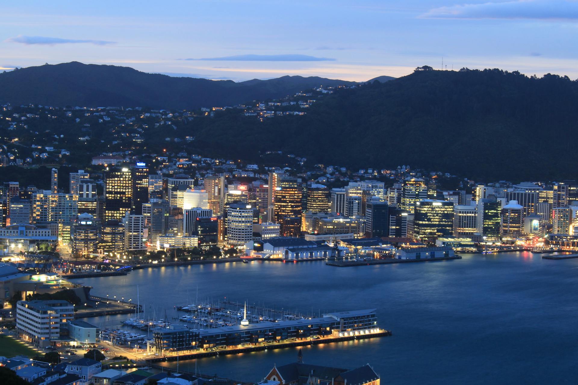
Whangārei Harbour is a stunning natural gem located in the Northland region of New Zealand's North Island. It's a must-visit destination for anyone looking to experience the country's unique marine environment.
The harbour is nestled between the Whangārei Heads and the Bream Bay, providing a picturesque setting for boat enthusiasts and nature lovers alike. Its calm and sheltered waters make it an ideal spot for sailing and fishing.
Whangārei Harbour is also home to a diverse range of marine life, including dolphins and whales that can be spotted during the summer months.
History of Whangārei Harbour
Whangārei Harbour has a rich history that dates back to the early days of settlement. Many early settlers and Maori used the harbour as a form of transport, which played a large role in the establishment of Whangārei.
The harbour's importance grew with the development of industries such as the Portland Cement Works, Marsden Point Oil Refinery, and coal extraction from Kamo. These industries relied heavily on the harbour for transportation and access.
From 1911 to 1933, the Onerahi Branch Railway crossed the upper reaches of the harbour, providing rail access to a new wharf at Onerahi. This further promoted the harbour's importance in the development of Whangārei.
Whangārei Harbour Geography
Whangārei Harbour stretches approximately 23 km north-west from Whangārei Heads to its farthest point inland at the town basin in Whangārei central. At its widest point, the harbour is approximately 6 km wide, between Parua Bay and Takahiwai, near One Tree Point.
The harbour is heavily tidal with a tidal range of approximately 2m, which means during low tide much of the harbour is mud flats and exposed sand bars. However, at the harbour entrance, where it is only around 800m wide, and between Onerahi and Matakohe Island, where it is only around 500m wide, it is up to 20m deep and currents can be strong.
The main rivers flowing into the harbour are Hātea River, Mangapai River, Limeburners Creek, Raumanga Stream, and Otaika Creek, which carry much sediment from surrounding farmland, creating the muddy nature of the harbour.
Location
Whangārei Harbour is located on the north-east coast of the North Island in New Zealand. The harbour is situated near the city of Whangārei, which is the regional centre of the Northland region.
The harbour's proximity to the Pacific Ocean makes it a significant location for marine activities. The harbour is also connected to the Hikurangi Peninsula.
The harbour's shape is influenced by the surrounding landforms, including the Whangārei Heads and the Hikurangi Ranges.
Suggestion: Paldiski North Harbour
Size and Shape
Whangārei Harbour stretches approximately 23 km north-west from Whangārei Heads to its farthest point inland at the town basin in Whangārei central.
At its widest point, the harbour is approximately 6 km wide, between Parua Bay and Takahiwai, near One Tree Point. The harbour is heavily tidal with a tidal range of approximately 2m.
Much of the harbour is shallower than 2m in the wider parts, resulting in mud flats and exposed sand bars during low tide. However, at the harbour entrance, where it is only around 800m wide, and between Onerahi and Matakohe Island, where it is only around 500m wide, it is up to 20m deep.
Here are the key dimensions of Whangārei Harbour:
- Length: approximately 23 km
- Width (at widest point): approximately 6 km
- Tidal range: approximately 2m
- Depth (at harbour entrance): up to 20m
Impact on Harbour
Whangārei Harbour is a significant geographical feature that plays a crucial role in the city's ecosystem and economy.
The harbour's shape and size are influenced by its unique geology, with the harbour mouth being a narrow entrance that opens up into a large, sheltered body of water.
The harbour's waters are home to a diverse range of marine life, including fish, shellfish, and other aquatic species that are an important food source for both humans and wildlife.
The harbour's calm conditions make it an ideal spot for sailing and other water sports, attracting tourists and locals alike to its shores.
The harbour's proximity to the city centre means that it's a popular spot for recreational activities, such as swimming, kayaking, and fishing.
The harbour's waters are also an important source of income for the local community, with many people relying on fishing and aquaculture for their livelihoods.
Marine Reserves
Whangārei Harbour is surrounded by a beautiful marine reserve that's worth exploring. Mimiwhangata Coastal Park Marine Reserve is a great spot to visit.
This marine reserve is home to recovering bird and marine species. You can spot them on a coastal walk or while engaging in water activities.
Mimiwhangata Coastal Park near Whangārei offers lovely coastal walks and opportunities for water activities.
Mimiwhangata Marine Reserve
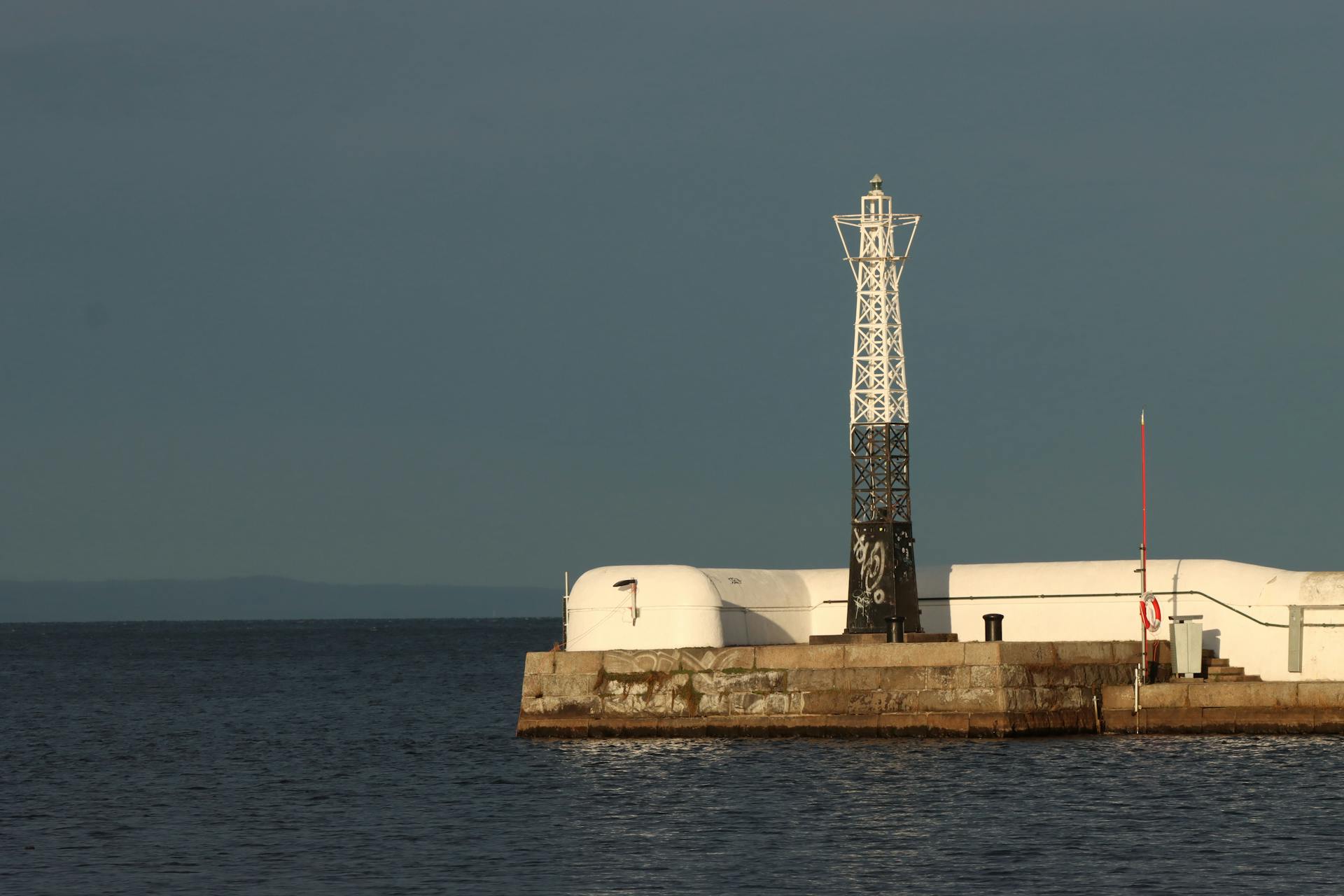
Mimiwhangata Marine Reserve is home to recovering bird and marine species.
The reserve's location near Whangārei offers a unique opportunity to observe these species in their natural habitat.
Other Reserves
Marine reserves are not just limited to the open ocean. Other reserves are found in estuaries, mangrove forests, and coral reefs.
These areas are crucial for marine life, providing habitat for a diverse range of species.
Estuaries, for example, are nurseries for many fish species, including cod and snapper.
They also help to filter pollutants from the water.
Coral reefs, on the other hand, are home to a quarter of all marine species, despite taking up only a tiny fraction of the ocean's surface.
Mangrove forests protect shorelines from erosion and provide a safe haven for juvenile fish.
They also help to maintain water quality by trapping sediments and pollutants.
These reserves are all interconnected, and their health has a direct impact on the overall health of the ocean.
Related reading: Korangi Fish Harbour
What's Happening Upstream?
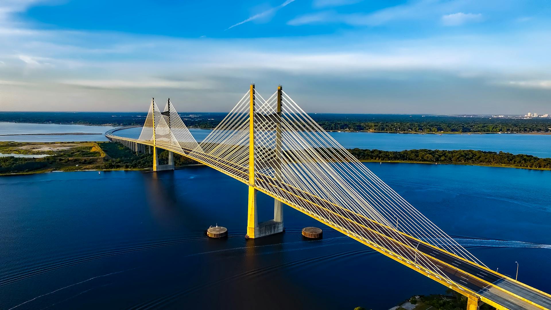
Whangārei Harbour's health is closely tied to the rivers and streams flowing into it. The mud and contaminants generated on land can be washed into rivers and eventually flow into the harbour during heavy rainfall.
The rivers and streams flowing into Whangārei Harbour are monitored for a range of health indicators, including water quality and ecology. Monitoring results from these river quality sites can help understand the upstream pressures affecting the harbour.
Understanding the health of our rivers and streams is crucial for Estuary Health, as it can influence the harbour's physical characteristics and overall health.
Frequently Asked Questions
What is Whangārei known for?
Whangārei is known for its stunning beaches and subtropical beauty, making it a popular destination for relaxation. It's also a shopper's paradise with a wide variety of stores and services.
Does Whanga mean Harbour or bay?
Yes, "whanga" can mean harbour or bay, specifically referring to a body of water associated with the mythological figure Reitū.
Is it worth staying in Whangārei?
Yes, Whangārei is a great base for your Northland adventure, offering a mix of beach relaxation, outdoor activities, and scenic exploration. Its proximity to beautiful surf beaches and marine adventures makes it an ideal destination for nature lovers and beach enthusiasts.
How deep is Whangārei Harbor?
Whangārei Harbor has an average high tide depth of 4.4 metres. At high tide, the harbor is relatively shallow due to extensive intertidal flats.
Sources
- https://en.wikipedia.org/wiki/Whang%C4%81rei_Harbour
- https://www.aa.co.nz/travel/editorial/whangarei-hills-and-harbours/
- https://evendo.com/locations/new-zealand/northland/attraction/whangarei-harbour
- https://www.gpsnauticalcharts.com/main/nz_nz5215_1-whangarei-harbour-nu-nautical-chart.html
- https://www.lawa.org.nz/explore-data/northland-region/estuaries/whangarei/
Featured Images: pexels.com
