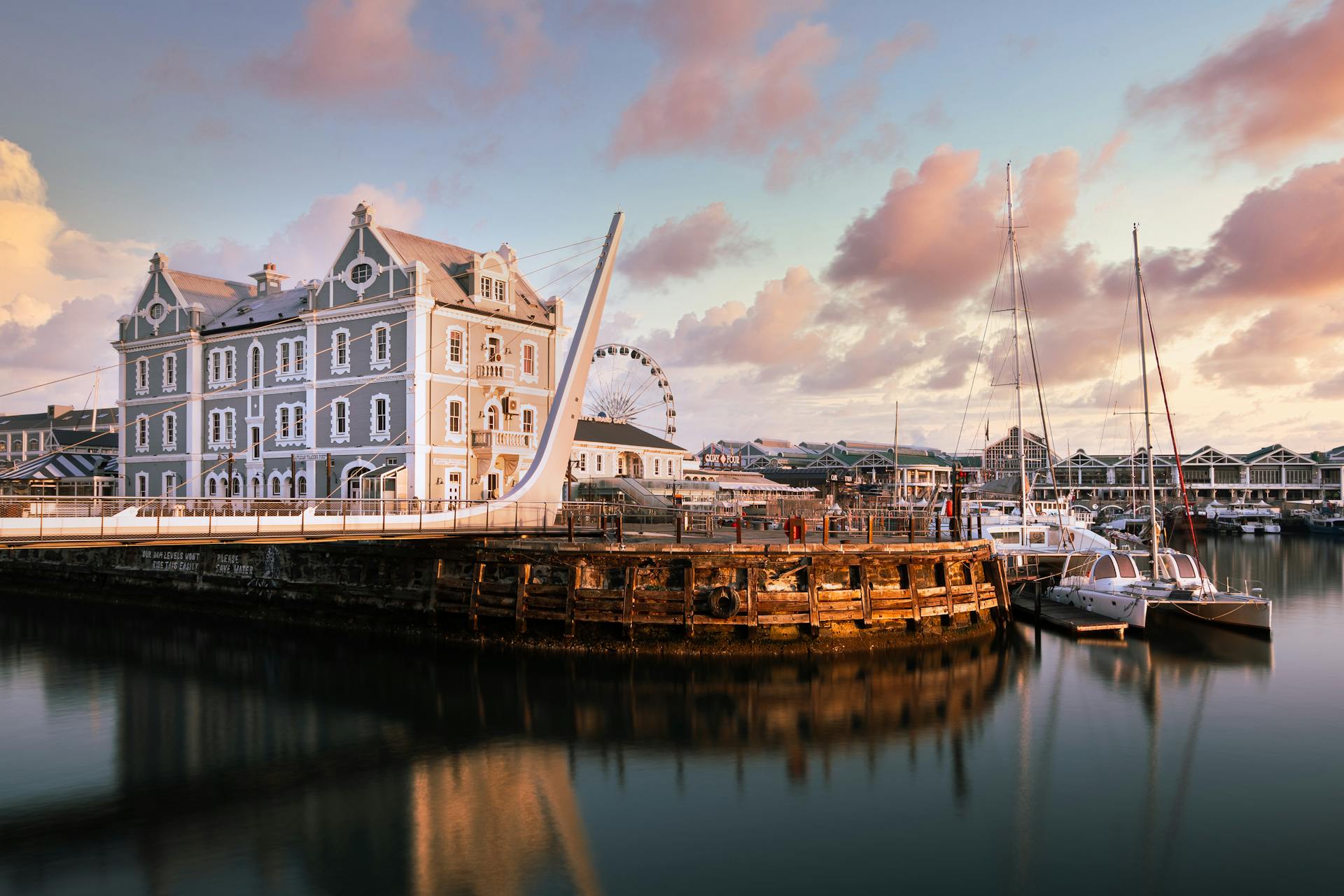
Cape Verde is an archipelago located off the coast of West Africa, and its ports play a crucial role in the country's economy and international trade.
The country's strategic location in the Atlantic Ocean makes it an important hub for maritime trade, with many major ports serving as entry points for goods and services.
Here are some of the major ports in Cape Verde:
The Port of Mindelo, located on the island of São Vicente, is one of the largest and most important ports in Cape Verde, handling a significant volume of cargo and passengers each year.
The Port of Praia, located on the island of Santiago, serves as the country's main port and is a major hub for international trade and commerce.
The Port of Sal, located on the island of Sal, is a significant port for the country's tourism industry, with many cruise ships and ferries arriving and departing from here.
The Port of Boa Vista, located on the island of Boa Vista, is another major port in Cape Verde, serving as a key entry point for goods and services to the island's growing tourism industry.
The Port of Maio, located on the island of Maio, is a smaller but still important port in Cape Verde, serving the island's local economy and providing access to international markets.
North Coast Ports
The north coast of Cape Verde is home to several important ports. The Port of Sal Rei is one of them, located on Boa Vista's northern shore.
The Port of Sal Rei is authorized by the Portos de Cabo Verde, Enapor. It's situated at a latitude of 16° 10′ 42″ N and a longitude of 22° 55′ 21″ W.
This port has a jetty with a Ro-Ro ramp in-depth alongside 5.0 meters and is protected by breakwaters, making it a safe and accessible port.
Sal Rei
Sal Rei is a port located on the northern shore of Boa Vista, Cape Verde's easternmost island. It's authorized by the Portos de Cabo Verde, Enapor.
The port is situated at a latitude of 16° 10′ 42″ N and a longitude of 22° 55′ 21″ W.
Sal Rei's port is protected by breakwaters, providing a safe and secure environment for vessels.
If you're planning a visit to Sal Rei, it's worth noting that the port has a jetty with a Ro-Ro ramp in-depth alongside 5.0 meters.
Grande
The Port of Porto Grande is a vital part of the Cape Verde archipelago, located on the northeastern coastline of Sao Vicente Island. It's a semi-circular harbor with calm waters, offering a total quay length of 1,590 meters.
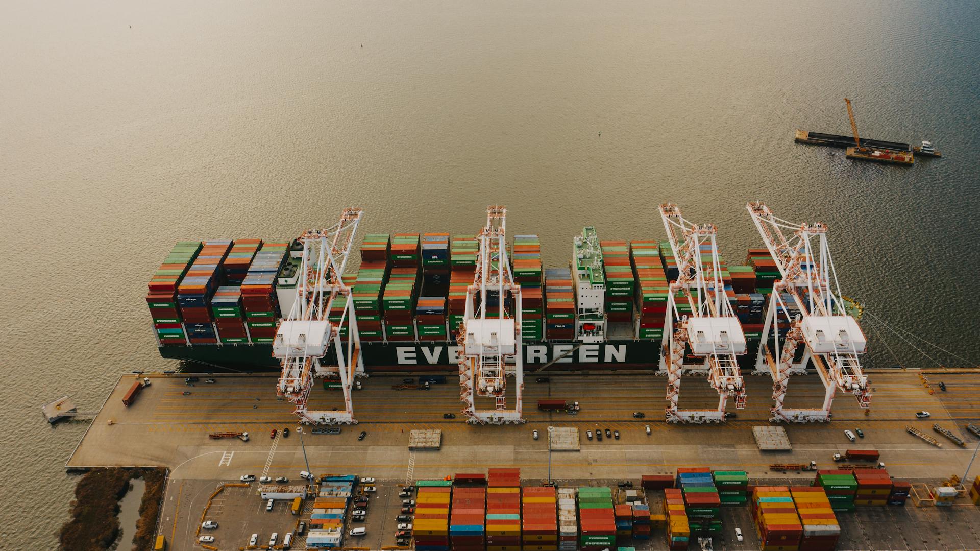
The port has 11 berths and is capable of handling a variety of cargo, including fuel, refined oil, gravel, and cement. It's also a major export point for canned fish, animal skins, timber, citrus fruits, and bananas.
One of the port's key features is its ability to accommodate a large number of vessels, with approximately 2,305 ships passing through its waters annually. This is due in part to its geographical location, which makes it an important refueling and service station for ships.
The port's layout has been expanded over the years, with additional quays and storage spaces added in 2014. This has increased the port's capacity, allowing it to handle more cargo and passengers.
Here are some key statistics about the Port of Porto Grande:
- TEU: 17,400
- Annual cargo handled: 652,000 tons
- Annual passengers: 282,500
- Annual vessels: 2,280
The port's cold storage facilities are also worth noting, covering 1.5 hectares and with a total capacity of 6,000 tonnes. This is mainly used for keeping seafood and other perishable items.
Vale Cavaleiros
Vale Cavaleiros is a major port on the island, commonly used by inter-island ferries and coasters. It's a crucial transportation hub for the island's residents and visitors.
ENAPOR, the national port authority, is in charge of the port. They've done a great job of maintaining it over the years.
In 2013, the port was rebuilt and enlarged, making it an even more efficient and effective transportation hub. I've heard it's been a game-changer for the island's economy.
Here are some key statistics about the port:
- ENAPOR is in charge of the port.
- The port was rebuilt and enlarged in 2013.
The port's average water depth is 6.5 meters, making it suitable for small cargo carriers and fishing vessels. These vessels play a vital role in the island's fishing industry.
The island itself spans 477 square kilometers, and the port is an important part of its infrastructure. It's a testament to the island's rich history and natural beauty.
East Coast Ports
The East Coast Ports of Cape Verde are a vital part of the country's economy. They are strategically located to facilitate trade and commerce with other countries.
The Port of Mindelo, located on the island of São Vicente, is one of the busiest ports on the East Coast. It's a major hub for the import and export of goods.
The Port of Mindelo has a total of 12 berths, each with a depth of up to 10 meters. This allows for the docking of large cargo ships and tankers.
The East Coast Ports are also known for their modern and well-equipped facilities, making them a popular choice for international shipping companies.
South Coast Ports
The South Coast of Cape Verde is home to two of the country's busiest ports. The Port of Praia is the country's second-busiest port, serving as a gateway to the capital.
One of the key features of the Port of Praia is its flexibility and security, with facilities that ensure the functioning of any ship. This is a major advantage for businesses operating in the region.
The Port of Palmeira on the island of Sal is another important port on the South Coast, handling a significant amount of freight traffic. It's also a major hub for fishing and maritime tourism, with a 34-meter-long pier for small-scale fishing vessels.
Check this out: Praia Harbor
Here's a quick rundown of the key features of the two ports:
- Port of Praia: Certified with the ISPS Code, flexible and secure facilities, and serves as a gateway to the capital.
- Port of Palmeira: Handles significant freight traffic, supports fishing and maritime tourism, and has a 34-meter-long pier for small-scale fishing vessels.
Palmeira
Palmeira is a significant port on the island of Sal in Cape Verde. It's the third-busiest port in the country in terms of freight traffic.
The Port of Palmeira is a vital hub for international trade, receiving fuel traffic that helps integrate Cape Verde with the global economic system. This port is also home to a fishing sector and offers maritime tourism services, including recreational boating and shipping products and passengers.
One of the port's notable features is its 34 meters long and 1-meter deep pier, which is accessible to small-scale fishing vessels. This allows them to safely dock and unload their catch.
The port has a protected space of 450m2 for goods storage, providing a secure area for storing cargo. This is essential for efficient cargo handling and minimizes the risk of damage or loss.
The Port of Palmeira has a nominal cargo handling proficiency of 70,000 tonnes annually. This is a significant capacity that enables the port to handle a substantial volume of cargo.
Check this out: List of Busiest Ports by Cargo Tonnage
Here are some key facts about the Port of Palmeira:
- Assists in Cape Verde’s integration with the global economic system as a recipient of international fuel traffic
- Holding the ISPS Code (International Ship and Port Facility Security Code) certification
- Accessible a 34 meters long and 1-meter deep pier for small scale fishing vessels
- Features a protected space of 450m2 for goods storage
- Port’s nominal cargo handling proficiency is 70,000 tonnes annually
Pedra De Lume
Pedra De Lume is a Cape Verde town located on the northeastern part of Sal Island. It's a small town with a tiny harbor.
The Port of Pedra De Lume is Sal Island's sub port and is well-known for its salt evaporation ponds. These ponds are a unique feature of the area.
The coordinates for the Port of Pedra De Lume are 16.7666° / -22.9000°. This makes it a convenient location for navigation.
The port is mainly used as a coastal commerce terminal and ferry port for transportation to and from Porto Grande.
For more insights, see: Cruise Port Cape Town
Praia
Praia, the capital city of Cape Verde, is home to a bustling port that plays a vital role in the country's economic and social development. Praia harbour is the main commercial port of Cape Verde and an important financial and business hub, contributing to the socio-economic growth of the country.
The Port of Praia is one of Cape Verde's key ports, serving as a gateway to the country's capital. It's a natural port facing the Atlantic Ocean, handling approximately 818,900 tonnes of cargo and 90,000 passengers annually.
Praia harbour has two docks, three small cargo piers, and two RORO ramps. It also has an 80-metre long and 4 metres wide fishing wharf with a depth of 3 m.
The port has a total available quayage of 865 m with a maximum water depth of 14 m. This allows it to accommodate all kinds of ships, from bulkers to container carriers.
The passenger terminal consists of a 350-metre-long wharf for accommodating ferries with connections to nearby islands like Brava and Sao Vicente.
For another approach, see: List of Cargo Types
Porto Novo
Porto Novo is a coastal trade terminal with trade connections to the island of Sao Vicente, handling consumer products, perishable items, and bulk cargo.
The port was modernised in 2013 with expanded berths and a 2500 m2 marine station building. Two covered warehouses for storing loose cargo are situated on the western side of the berths.

Porto Novo has three berths covering more than 450 m2 and a depth of 8.5 metres. It also has two container parks, two RORO ramps, and a small pier for accommodating boats and fishing vessels.
In 2018, the port handled 140,000 tonnes of cargo and over 50,000 passengers. The southern coast experiences less rainfall and an arid climate, which led to the settlement of Porto Novo in the late 1800s.
Take a look at this: Porto Grande Bay
Vale de Cavaleiros
Vale de Cavaleiros is a port located on one of the most densely populated islands of the Cape Verde archipelago. The island spans 477 square kilometres and features high mountain peaks, waterfalls, and an active volcano.
The port was constructed in 2013 and comprises two wharves parallel to each other, covering 75 m and 100 m respectively. The average water depth is 6.5 metres.
A marine station equipped with escalators was constructed for the ease of passengers. This feature is a welcome addition to the port, making it easier for people to move around.

The fishing wharf was expanded in 2018, catering to the island's fish processing plants. This expansion has increased the port's capacity to handle fishing vessels.
Here are some key facts about the Port of Vale de Cavaleiros:
- A major port on the island
- Commonly used by inter-island ferries and coasters
- ENAPOR, the national port authority, is in charge of the port
- In 2013 it was rebuilt and enlarged
Furna
Furna is a small port on the southernmost island of Brava, showcasing traditional infrastructure. It's located at the mouth of a natural harbour, which gives it a unique and picturesque setting.
The port itself is an open roadstead, covering 190 metres, with a water depth of 7.5 m, making it suitable for a ferry service. This service links other islands, providing a convenient way to travel between them.
Furna has enormous potential for development, but it's not a popular tourist destination due to its local landscape. This is a shame, as it has a lot to offer, but it's still worth visiting for those who want to experience a more off-the-beaten-path destination.
Frequently Asked Questions
What is the port of entry for Cape Verde?
To enter Cape Verde, you must land at one of the 3 official ports: Palmeira (Ilha do Sal), Mindelo (Sao Vicente), or Praia (Santiago). Failing to do so can result in steep fines.
Do cruise ships stop in Cape Verde?
Yes, cruise ships do stop in Cape Verde, with 9 ports visited by various ships. Learn more about the popular ports and itineraries in Cape Verde.
Featured Images: pexels.com