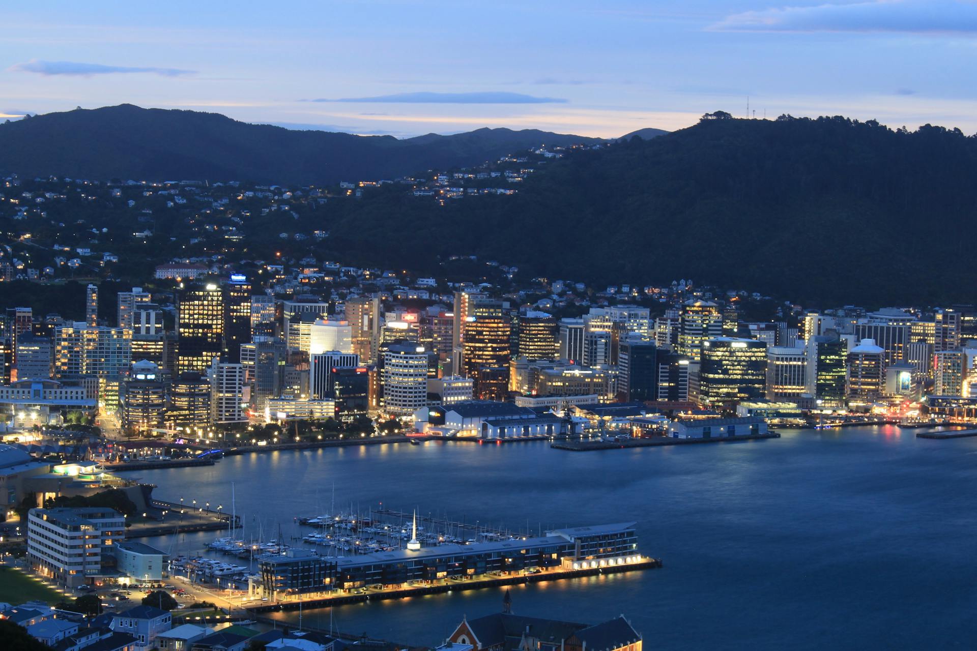
Kilindini Harbour has a rich history that spans over a century. It was initially built in 1895 by the British as a small harbour for the Royal Navy.
The harbour's strategic location made it an ideal spot for trade and commerce. The British expanded the harbour in the early 20th century to accommodate growing trade volumes.
Kilindini Harbour's development was further accelerated during the colonial era. The harbour played a crucial role in the country's economic growth, with many ships calling at the harbour to load and unload cargo.
History and Development
Kilindini Harbour has a long history dating back to 1896 when work started on the construction of the Uganda Railway, marking the beginning of the harbour city of Mombasa.
The harbour played a significant role during World War II, serving as the temporary base of the British Eastern Fleet from early 1942 until the Japanese naval threat to Colombo, Ceylon (now Sri Lanka) had been removed.
In addition to its military significance, the Far East Combined Bureau, an outstation of the British code-breaking operation at Bletchley Park, was housed in a requisitioned school nearby, where they successfully broke Japanese naval codes.
Defences
The defences of Kilindini Harbour were a crucial aspect of its history. The main forts defending the harbour were The Horseshoe Fort, Ras Serani Fort (Kizingo Camp), and Fort Jesus.
These forts were set up to protect the harbour from potential threats. A loop layout was also in place to detect and track objects in the harbour.
The loop layout consisted of a galvanometer and a chart recorder, as seen in a typical Royal Navy Loop Control Hut. This setup was used to monitor the harbour's activity.
A broader map of the structures along Mama Ngina Drive shows the probable location of the guard loop and mine loop in Kilindini Harbour.
Expansion
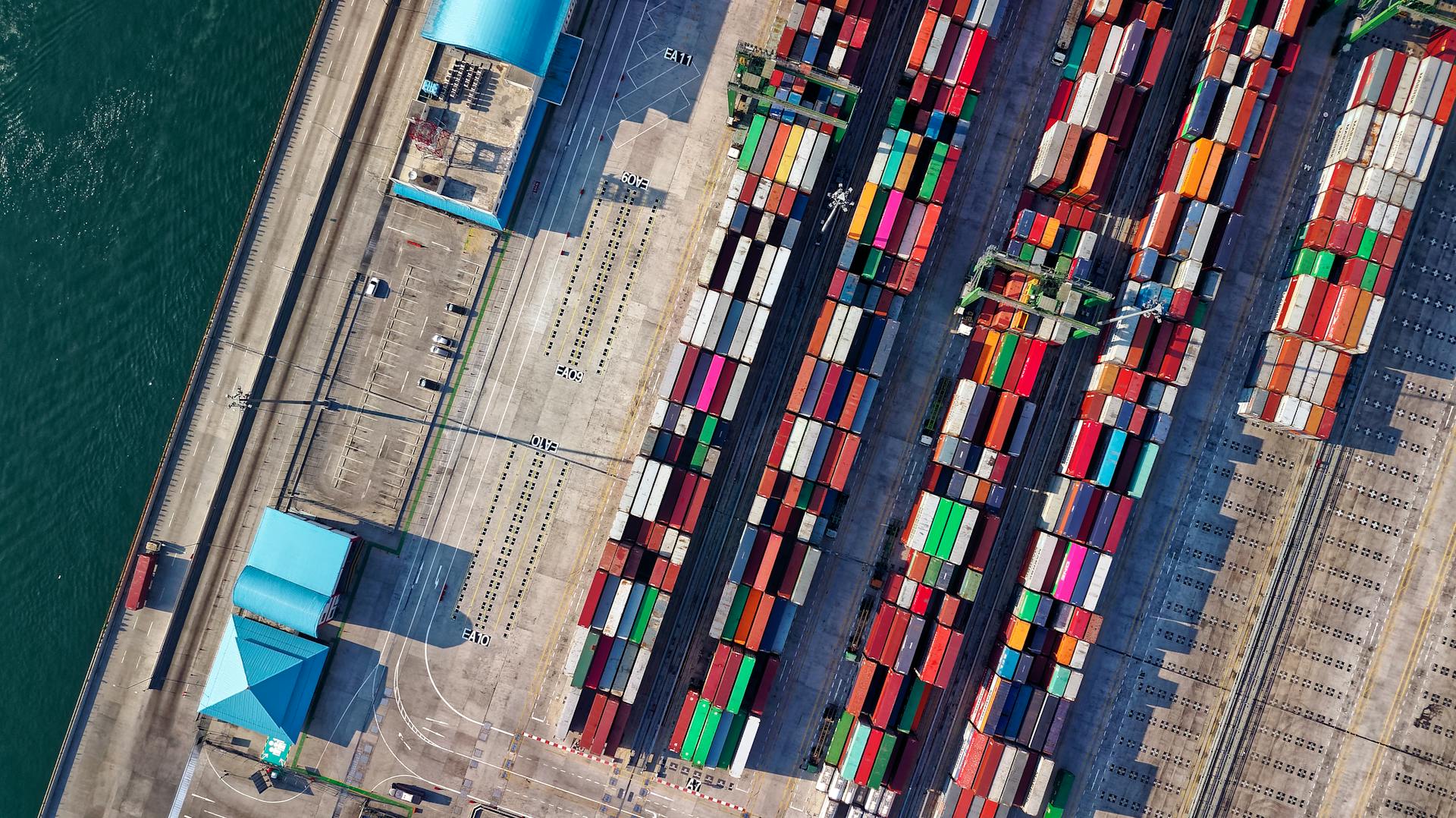
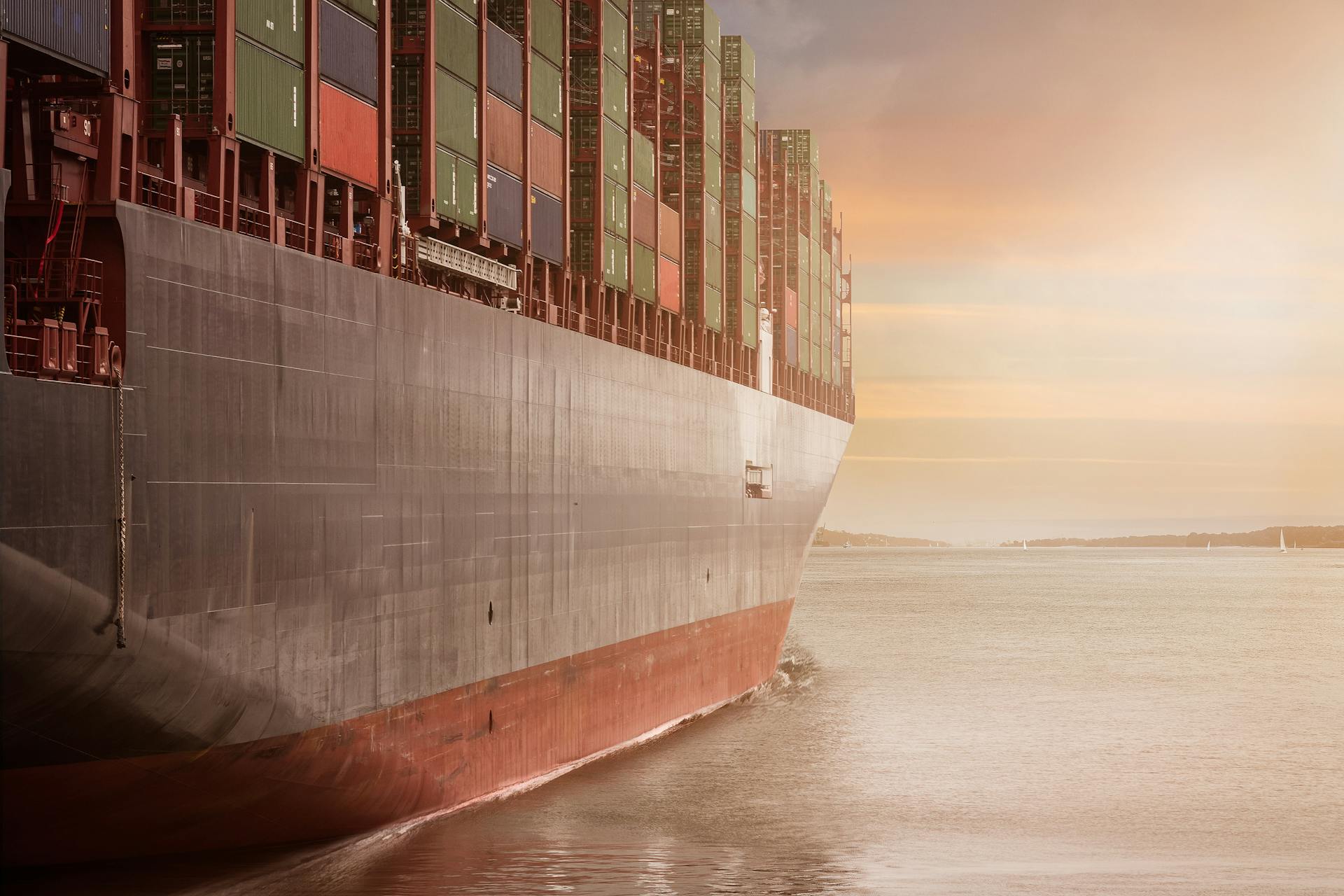
The expansion of the port was a significant milestone in its history. It was launched in July 2011 at a cost of $82.15 million by the Kenyan Government.
The project was carried out by China Roads and Bridge Corporation, a reputable company with experience in similar projects. The expansion enabled the port to handle Panamax Vessels, which are a specific type of large ship.

A new berth, Berth 19, was constructed as part of the expansion. This new berth has 6.1 ha (15 acres) of stacking yard.
The expansion added 200,000 TEU (Twenty-Foot Equivalent Unit) of annual capacity to the port. This increase in capacity is expected to boost the port's throughput by 33%.
The expansion plans also included the construction of railways to better link the port to Uganda and Rwanda. This will help to further consolidate the port's leading status in East Africa.
If this caught your attention, see: Msc Cruises Announces New Home Base at Port Canaveral
History
Mombasa has a centuries-old history as a harbour city, dating back to the construction of the Kilindini harbour in 1896.
The Kilindini harbour was a major hub during World War II, serving as the temporary base of the British Eastern Fleet from early 1942.
The harbour played a crucial role in the war effort, providing a safe haven for the British fleet until the Japanese naval threat to Colombo, Ceylon (now Sri Lanka) was removed.
Nearby, the Far East Combined Bureau, an outstation of the British code-breaking operation at Bletchley Park, was housed in a requisitioned school and had success in breaking Japanese naval codes.
The city's rich history is a testament to its strategic importance as a harbour city, and its role in shaping the region's development.
Additional reading: Old City Harbour
Real Earth Data
Kilindini Harbour's maps are created based on real Earth data, not artistic renderings. This ensures accuracy and detail.
The maps are not just visually appealing, but also a reflection of the actual landscape. They show the harbour's true shape and layout.
By using real Earth data, the maps can provide valuable insights into the harbour's geography and layout. This can be especially useful for navigation and planning purposes.
The data used to create these maps is sourced from various locations, including the harbour itself. This ensures that the maps are up-to-date and accurate.
Frequently Asked Questions
What does Kilindini mean in English?
Kilindini is a Swahili term meaning "deep down" or "in the depths" in reference to the depth of the channel. It's a name that reflects the unique geography of the Mombasa harbor.
Sources
- https://indicatorloops.com/mombasa.htm
- http://www.maphill.com/search/kilindini-harbour/google-hybrid-map/
- https://trek.zone/en/kenya/places/325617/kilindini-harbour-mombasa
- https://en.wikipedia.org/wiki/Kilindini_Harbour
- http://www.friendsofmombasa.com/historic-areas-entry-exit-points/kilindini-harbour/
Featured Images: pexels.com